Construction progress documentation.
Scheduled aerial documentation that tracks your build over time — so every stakeholder can see exactly where the project stands.
Watch a site grow.
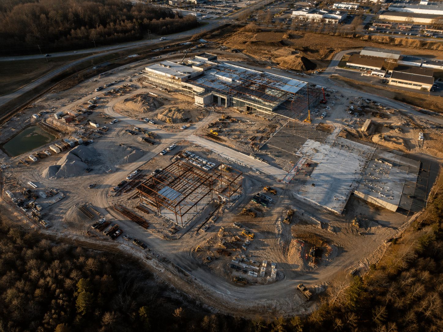
Click through the flights. Every project gets a dated visual record like this — from first grading to finished build.
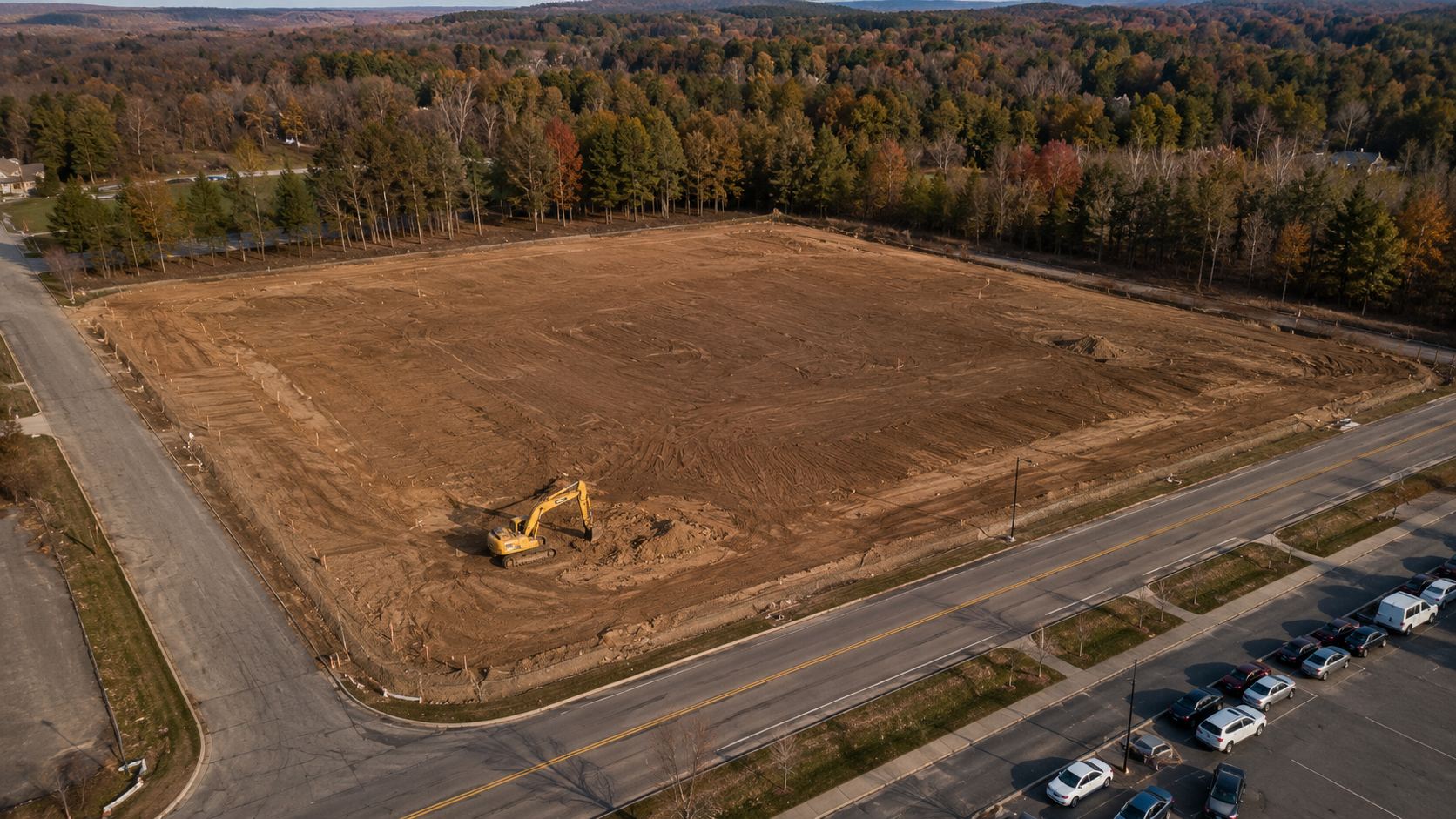
Sample flights shown for illustration. Your log uses your site, on your schedule — weekly, biweekly, or by milestone.
Your whole build, date by date.
We fly your site on a recurring schedule and document every phase from the air. Compare any two dates side by side, verify milestones, and keep clients and stakeholders aligned with a clear visual record.
It's the single source of truth for where the project was, where it is, and how far it's come.
- Scheduled recurring aerial flights
- Progress photo and video reports
- Side-by-side date comparisons
- Milestone and timeline documentation
One record. Zero arguments.
When everyone sees the same dated picture, the "he said, she said" ends.
Owners & developers
See exactly what the money built this month — without driving to the site.
General contractors
Dated proof of site conditions, sequencing, and progress if a dispute ever lands on your desk.
Lenders & inspectors
Verify draw milestones from your office with a current, dated aerial record.
Marketing & leasing
Share-ready visuals of real momentum for investors, tenants, and social channels.
One link. Zero mystery.
Every flight ends the same way: your private client portal updates within 24–48 hours. Below is a working miniature — click through the flights exactly like your client would.
TRY IT — CLICK THROUGH THE FLIGHTS
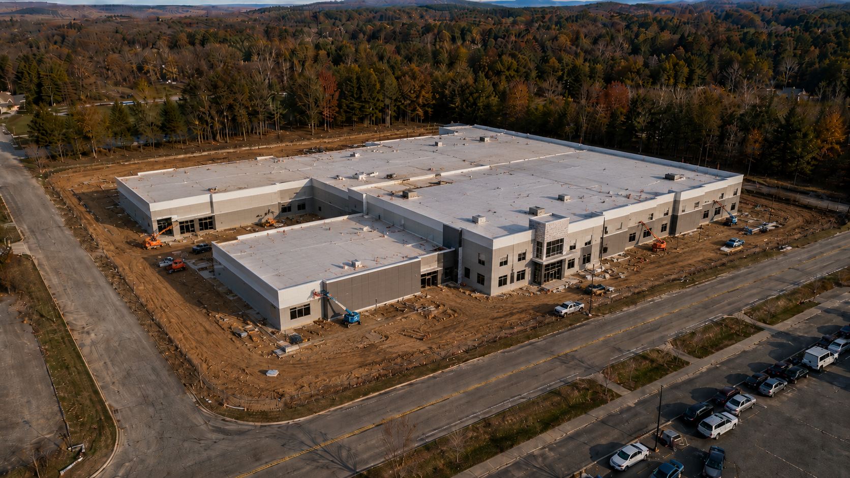 FLIGHT 04 · JUL 02 · BUILDING ENCLOSED
Never argue about progress again.
Get a fast, no-obligation quote within one business day.
Get a Free Quote