The drone data partner for people who build.
SkyGrid Drone Services is an FAA Part 107 certified aerial mapping and inspection company based in White Plains, NY — serving contractors, property managers, engineers, and developers across the tri-state region.
Built for the people who use the data.
Most drone operators hand you footage and call it a day. We deliver something your team can actually work with — georeferenced maps, measurable 3D models, and inspection reports in standard formats you can open right away.
Every flight is planned, flown, and processed with one goal: give you accurate, reliable site data without slowing your project down. And when you call, you talk directly to the pilot who flies your site — not a call center.
- FAA Part 107 Certified Remote Pilot
- $1M commercial drone liability insurance
- Commercial-grade mapping hardware (DJI Matrice 4E)
- RTK-corrected, high-accuracy data collection
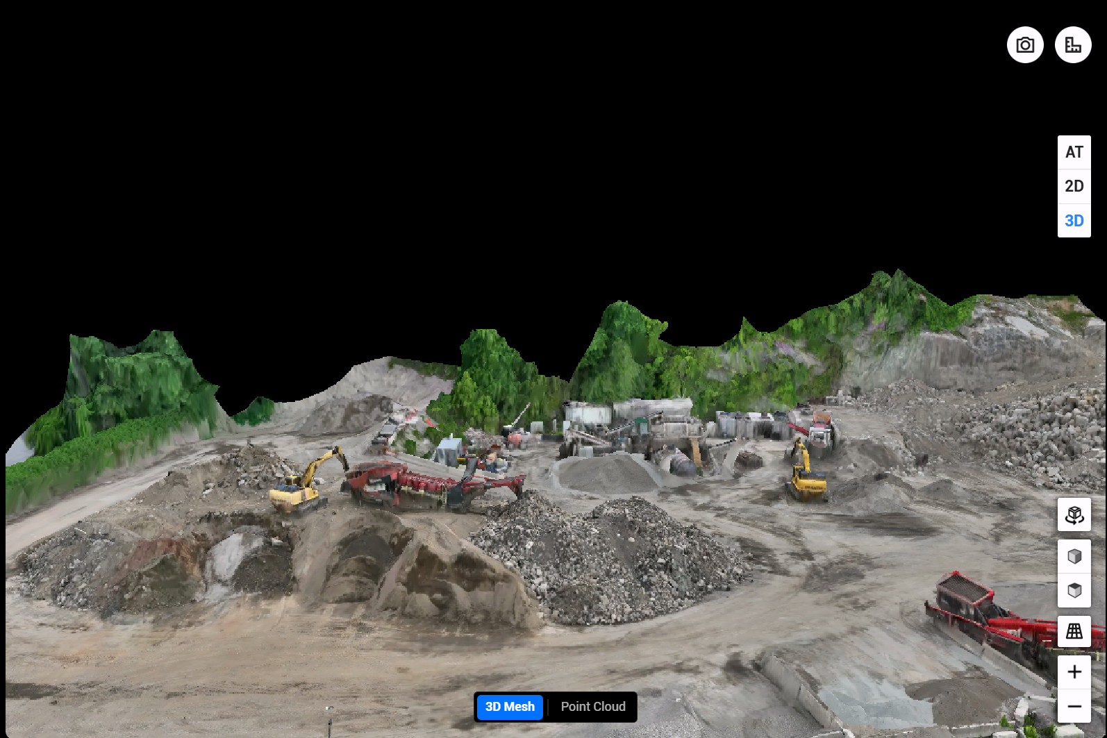
From first call to files, in days.
No long contracts, no mobilization circus. A typical project looks like this.
Tell us about the site
Send the location and what you need — mapping, inspection, progress shots, or volumes. You get a clear quote within one business day.
We fly it
Flight planning, airspace checks, and safe operation are all on us. No site disruption — your crews keep working while we capture from above.
We process it
Raw captures become RTK-corrected maps, models, and reports — checked for quality before anything reaches your inbox.
You get files that work
Deliverables arrive in 24–48 hours in standard formats. Questions about what you're seeing? Call the pilot who flew it.
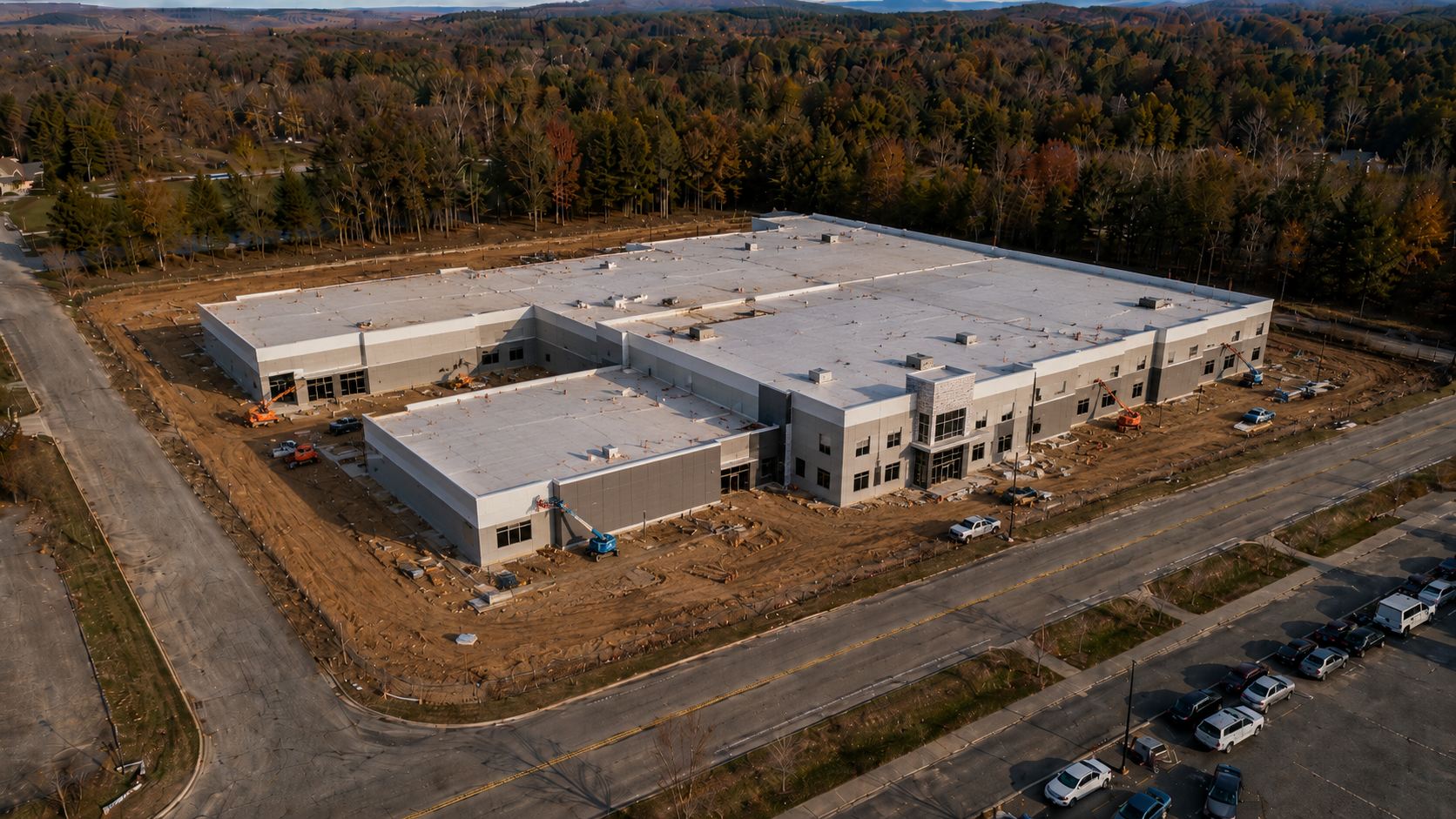
Based in White Plains. On your site fast.
We're not a national marketplace that subcontracts your flight to whoever answers first. SkyGrid is a local operation — we know the airspace, the weather windows, and the counties we serve, and we stand behind every dataset we deliver.
Need a repeat flight next month? Same pilot, same setup, same accuracy — so your data stays comparable over the life of the project.
The documentation and visibility layer for your project.
We're not here to replace your engineers or surveyors. We're the eyes in the sky that give your whole team a clear, current, measurable view of the site — whenever they need it.
Accurate
RTK-corrected data you can measure against with confidence — not just pretty pictures.
Fast
48-hour standard turnaround. We know a stalled decision costs you more than a flight does.
Usable
Deliverables in standard formats your team can open right away — no friction.
Let's put aerial data to work.
Get a fast, no-obligation quote within one business day.
Get a Free Quote