Real captures. Real projects.
Every item on this page is an actual SkyGrid deliverable from a real flight — not a mockup. Click any capture to zoom in, and open the live maps and demo portals to use the real thing yourself.
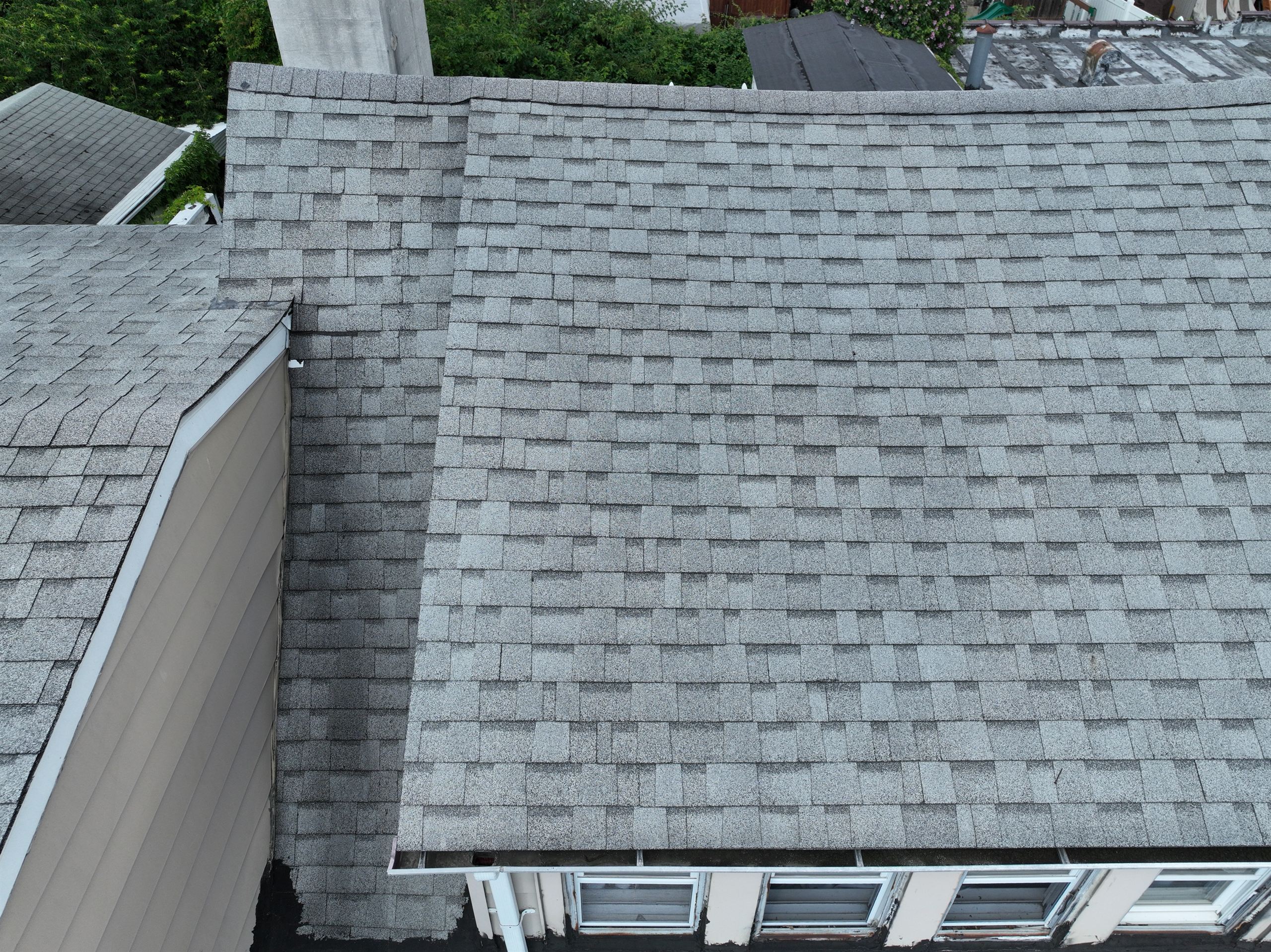
Roof perimeter sweep — commercial property
CLICK TO ZOOMA full inspection, delivered as a portal.
One frame from a 29-frame perimeter sweep along a commercial roof — a continuous RTK-corrected pass documenting every seam, unit, and edge in sequence. The full delivery is a portal page: the frame-by-frame sweep and an interactive 2D orthomosaic you can measure on, all behind one link. Don't take our word for it — the demo below is the real delivery, open to anyone.
- 29-frame perimeter sweep
- RTK-corrected flight
- Interactive orthomosaic
- Client portal delivery
Deliverables you can touch.
These aren't screenshots — each card opens the real thing: live measurable maps and full demo deliveries in our client portal.
From the flight log.
Quarries, rooftops, facades, terrain, and full site models — all flown, processed, and delivered by SkyGrid.
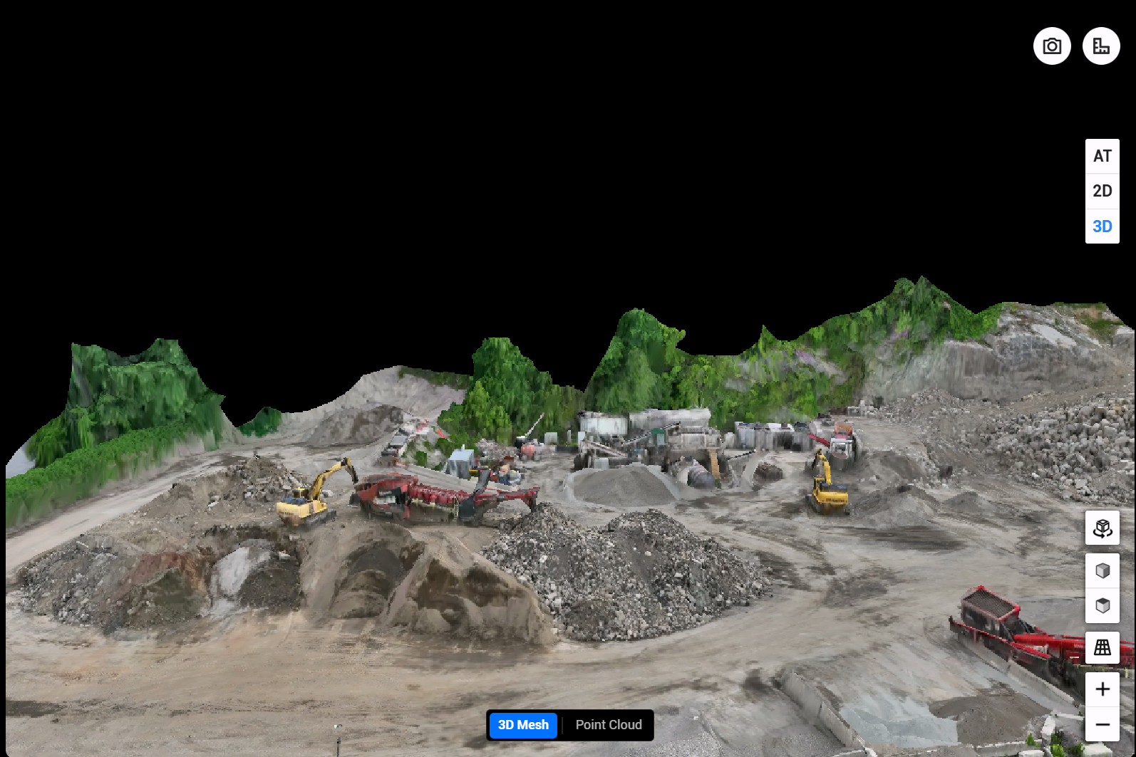
Active Quarry & Material Site
Full textured mesh — stockpiles, benches, and equipment all measurable.

Site Elevation Analysis
Color-mapped terrain — every high and low spot, quantified.
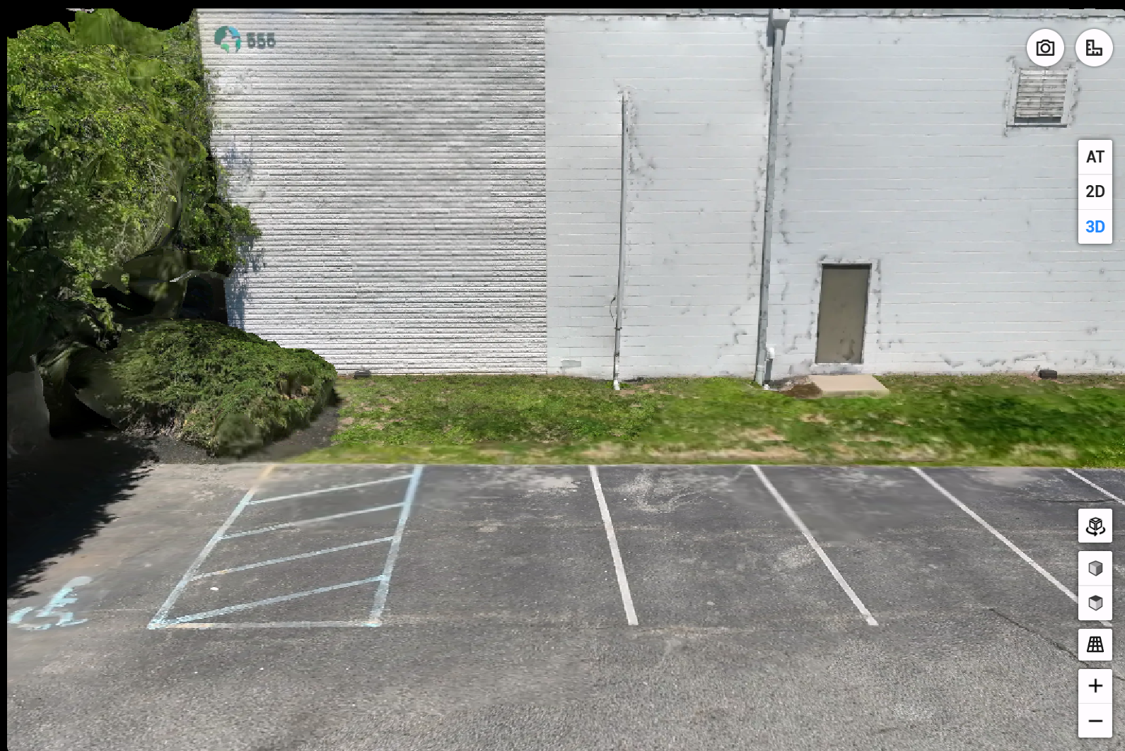
Building Facade Documentation
Full exterior wall capture — condition visible down to the mortar joints.
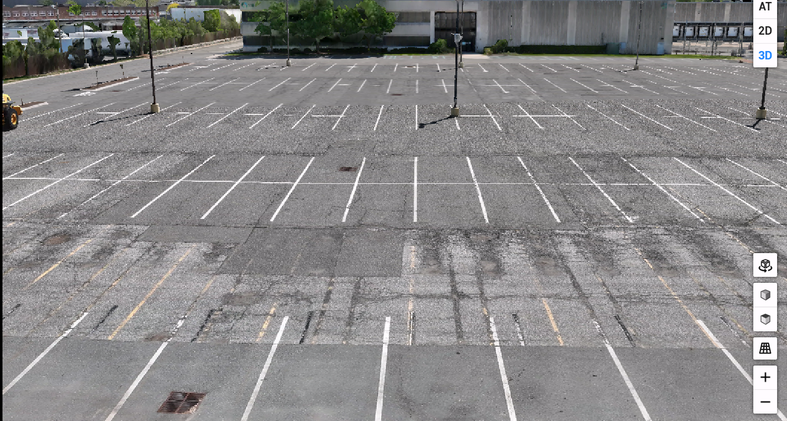
Commercial Parking Lot
Full-lot documentation in a single flight — striping, surface, and drainage.
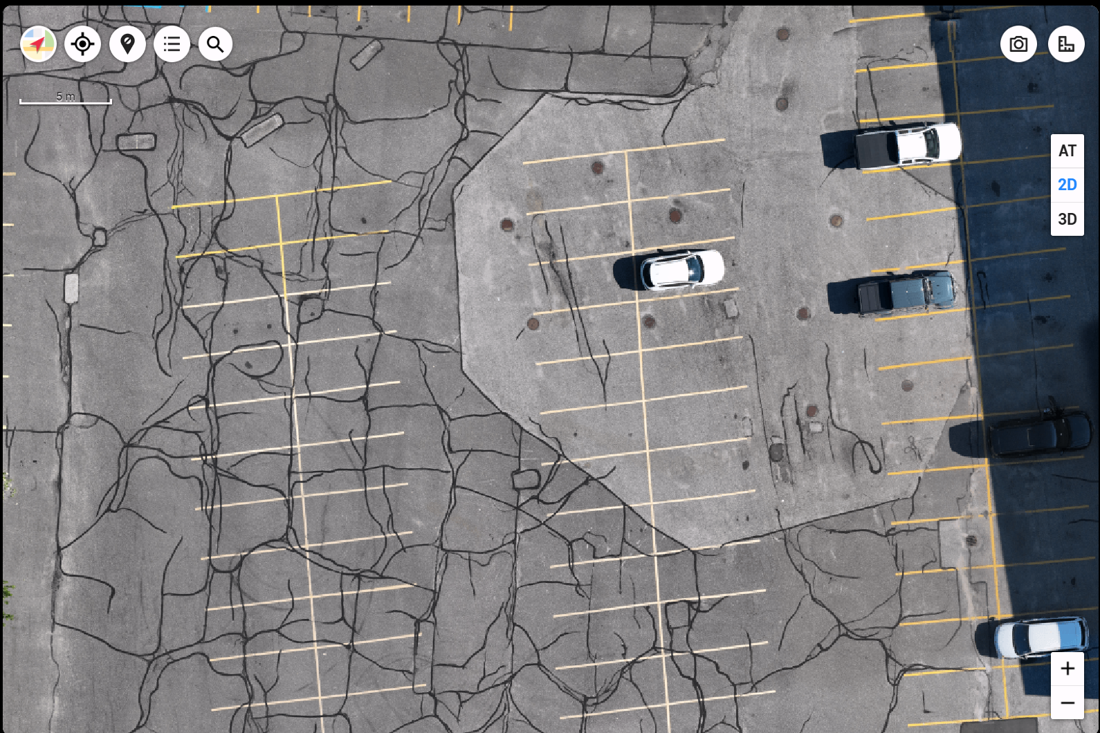
Pavement Condition Report
Top-down map sharp enough to trace individual cracks.
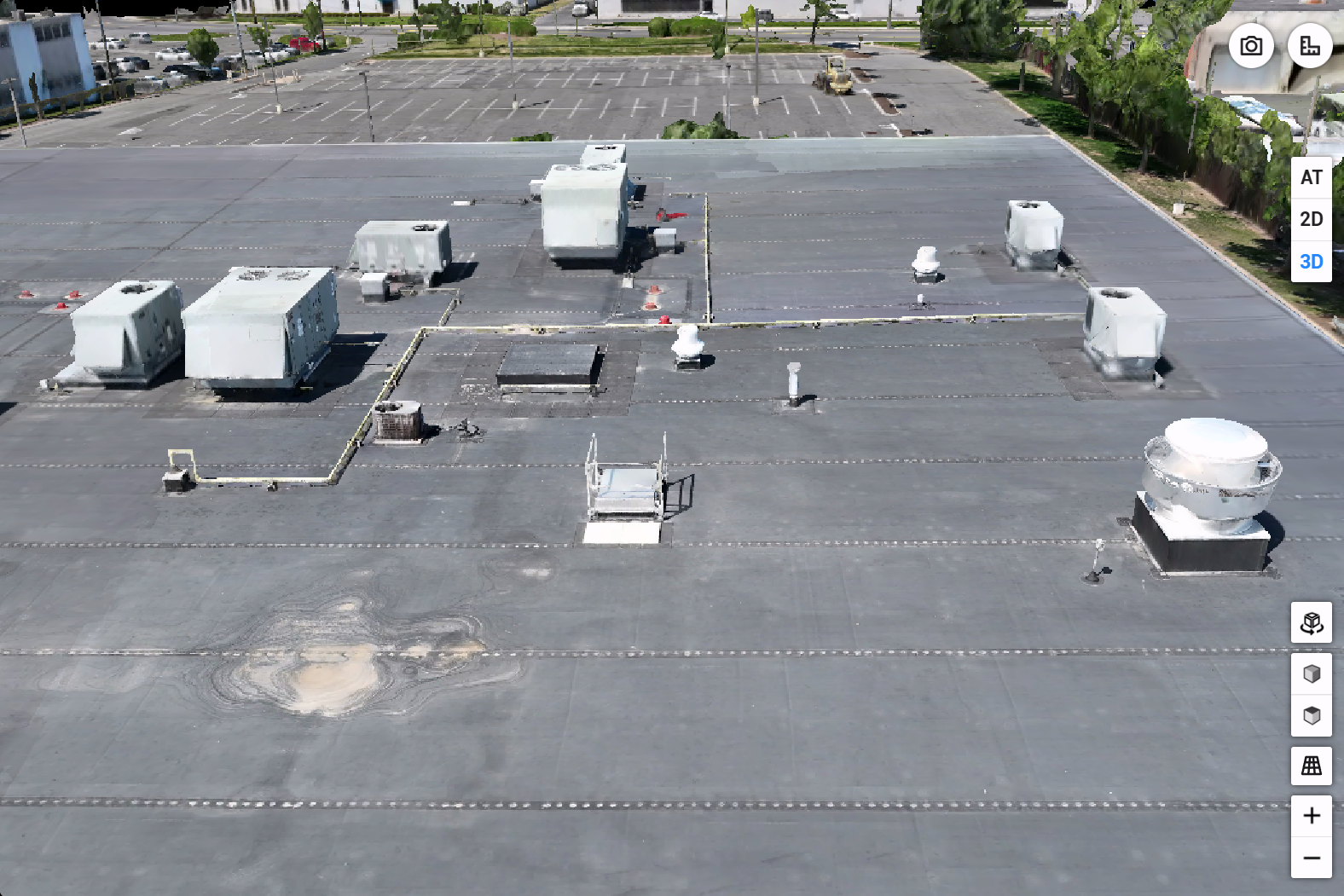
Commercial Roof & HVAC Documentation
Complete roof and equipment documentation — nobody on a ladder.
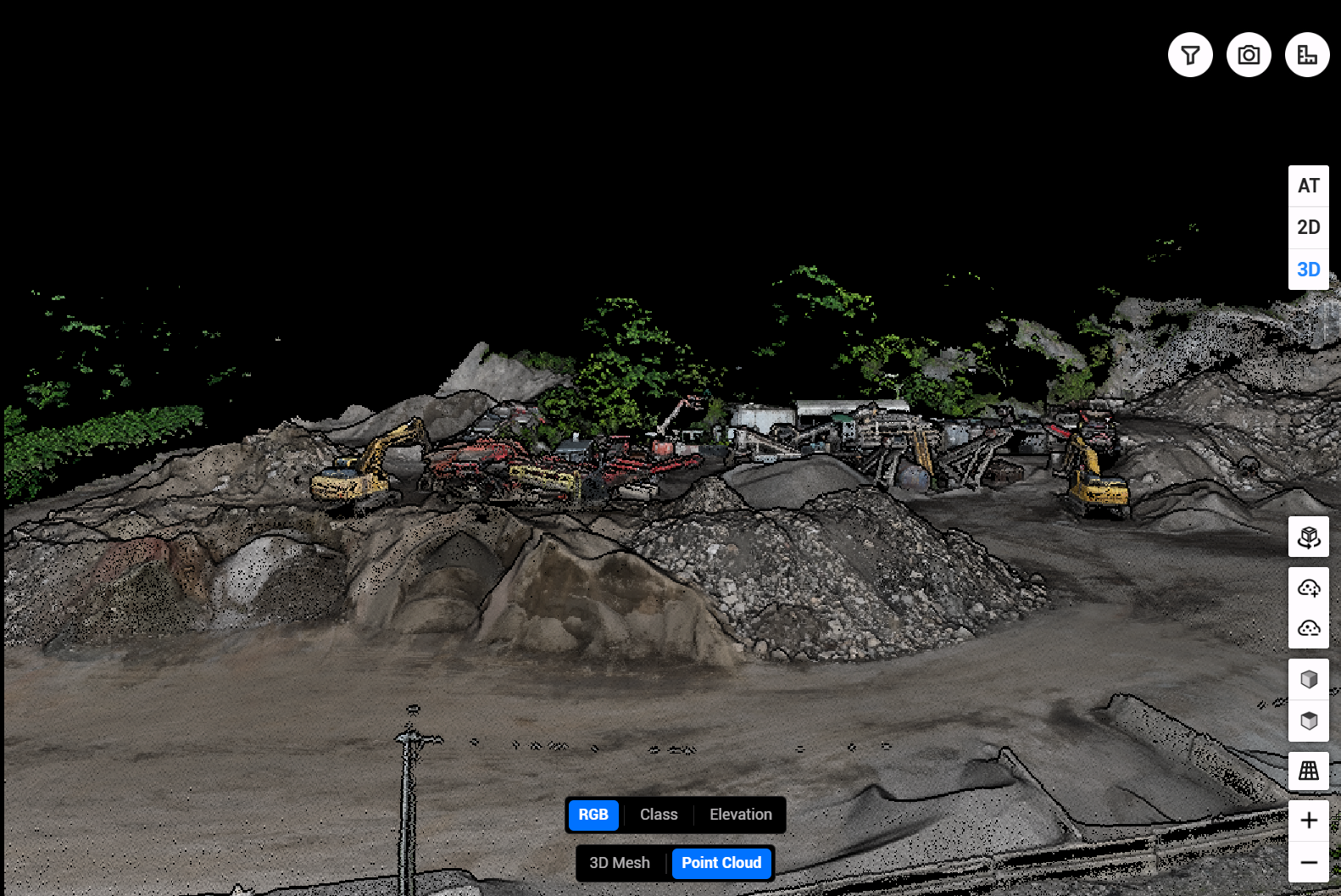
Industrial Site Point Cloud
Millions of measured points — the raw data behind every model.

Loading Dock — 150 ft Span
Distance, slope, and drop pulled directly from the processed capture.
Want captures relevant to your sector? Ask us — we'll send what's closest to your use case.
Want your site in this gallery?
Get a fast, no-obligation quote within one business day.
Get a Free Quote