Drone mapping that's measurable.
High-resolution orthomosaic maps, 3D models, and point clouds with RTK accuracy — built for site planning, engineering, and land development.
What you're planning with now.
Drag the handle. Left: the stale, low-res imagery most teams work from. Right: the same site, flown by SkyGrid.
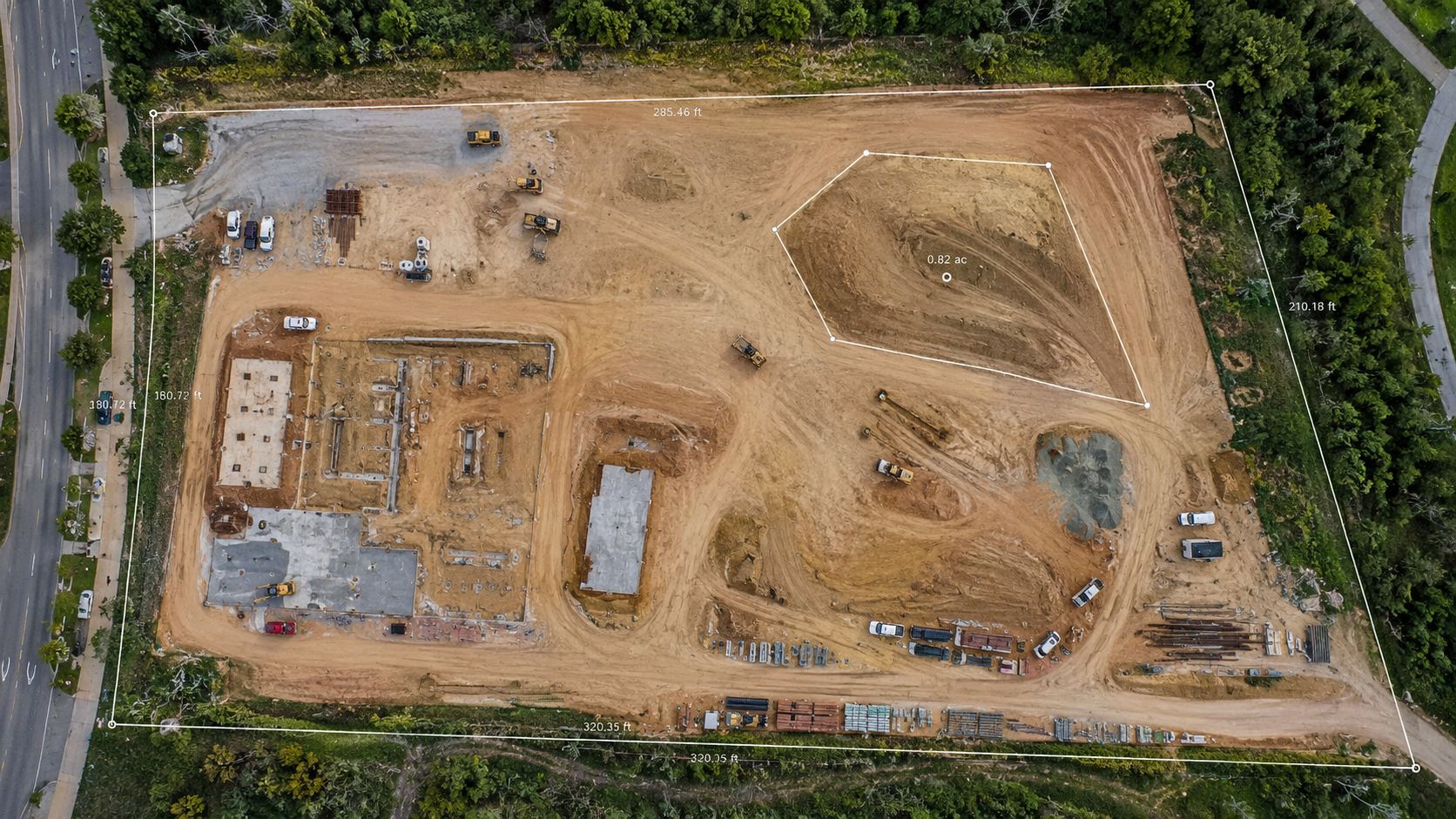
Left side simulated for comparison. Right side: actual SkyGrid deliverable, accurate to the inch.
Don't take our word for it. Explore one.
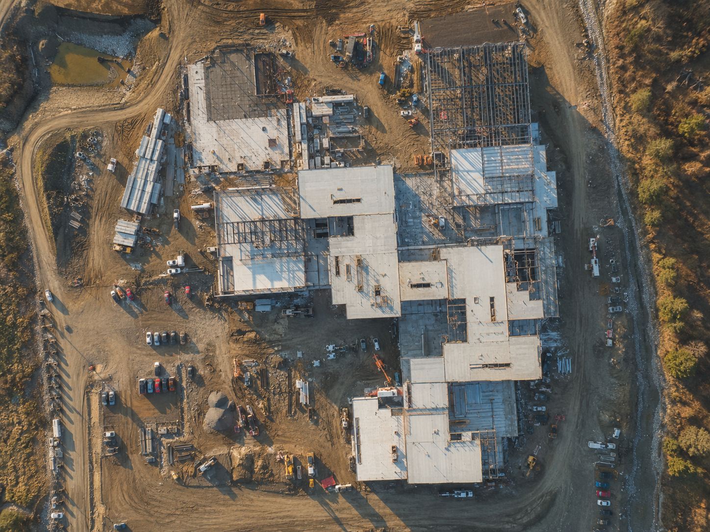
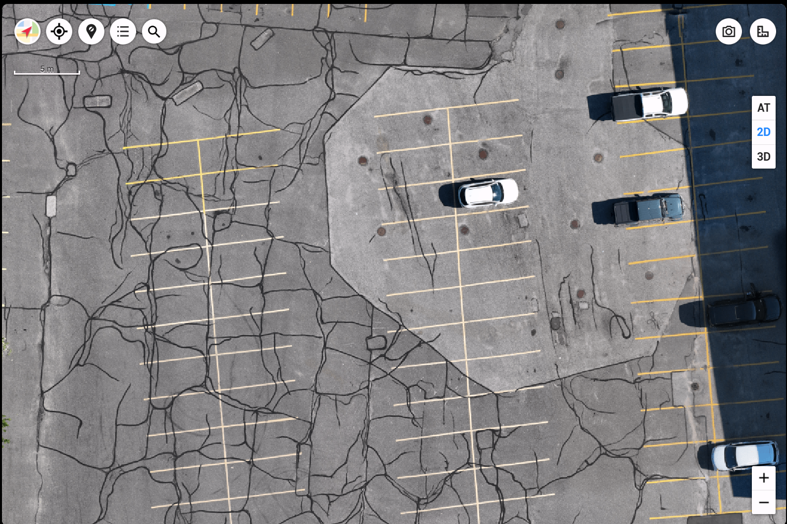
Two real 2D orthomosaics from recent flights — pan and zoom them right here, or open the full viewers to measure distances, areas, and volumes yourself.
FULL ZOOM + DISTANCE, AREA & VOLUME TOOLS IN THE FULL VIEWERS. MEASUREMENTS ARE CLOSE APPROXIMATIONS — NOT A CERTIFIED SURVEY.
◈ SAMPLE DELIVERY See how a 2D map arrives — a live demo of the client portal delivery, map included. OPEN THE DEMO →Flat maps are half the story.
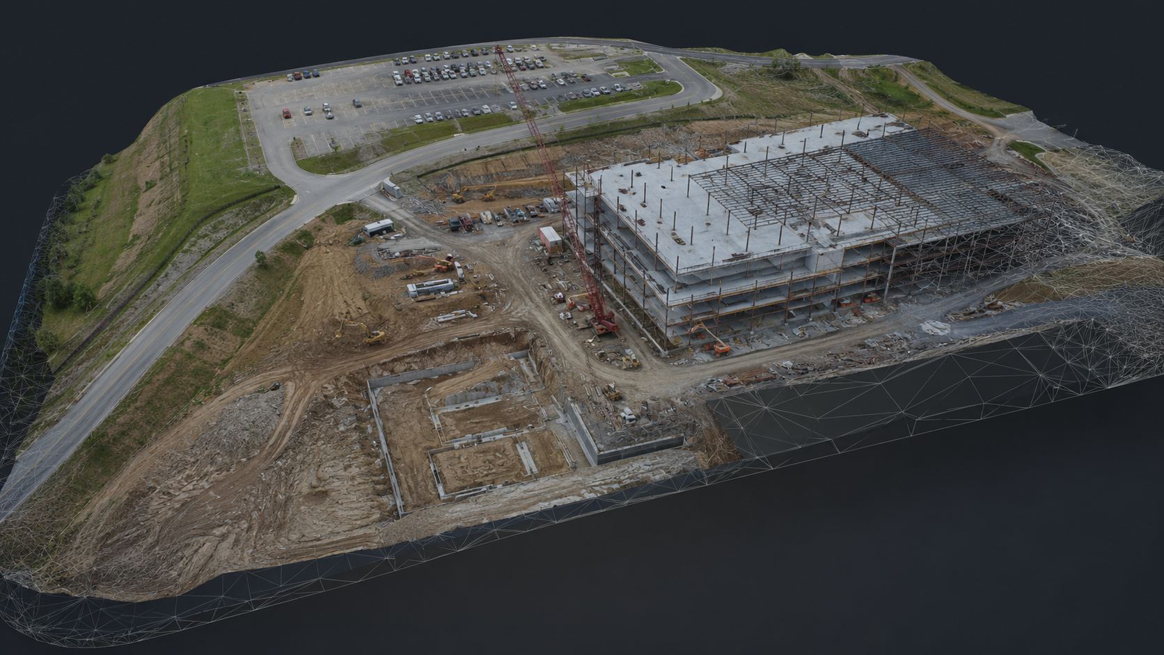
A real textured 3D model from a SkyGrid flight — this is a screen capture of the actual model being explored. Every wall, roofline, and grade captured in three dimensions.
Maps your team can actually measure.
We capture your entire site from above and process it into georeferenced maps and models accurate to within centimeters. Plan layouts, calculate areas, and pull measurements directly from the data.
Whether it's a raw parcel, an active build, or a finished site, you get clear, organized files delivered in standard formats your team can open right away.
- High-resolution orthomosaic maps
- 3D models and dense point clouds
- Topographic and terrain data
- RTK-corrected, high-accuracy data
You've probably lived this.
Argued with a contractor about how much material actually moved — with nothing but memory to back it up.
Planned a layout on a Google Earth image that turned out to be two years old.
Waited weeks for site documentation while the schedule kept slipping.
Drove an hour to the site just to answer one question about one corner of it.
One 30-minute flight ends all of it. Book yours →
Deliverables you can use.
Every mapping project ships in standard, ready-to-use formats.
Top-Down Maps
Site Models

Terrain Data
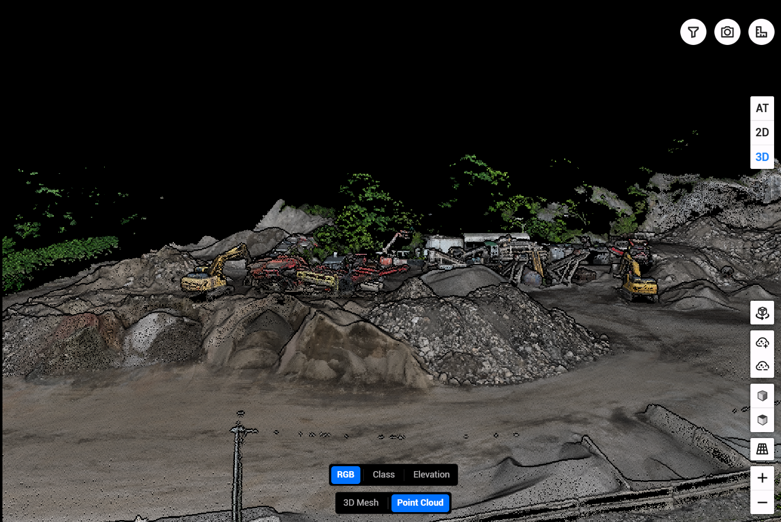
Point Clouds

Measurements
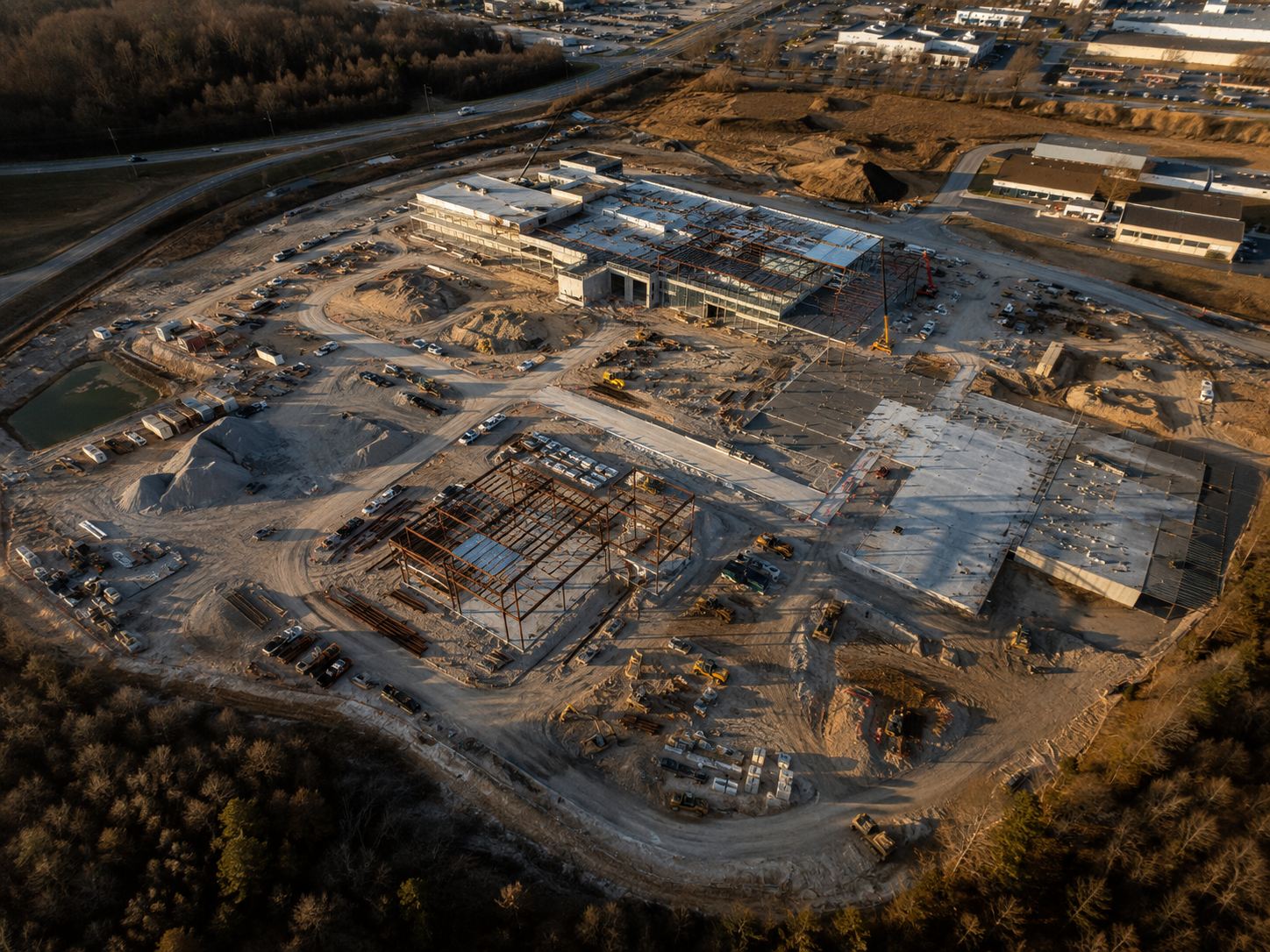
Full Site Capture
The old way vs one flight.
Manual site documentation
- Weeks of waiting for crews, schedules, and site visits to line up
- Spot checks only — photos from the ground, notes on a clipboard
- People walking your active site, around equipment and open excavation
- Outdated the day it's done — the site keeps changing
- Full mobilization again every time you need an update
One drone flight
- 24–48 hour turnaround from flight to files in your inbox
- Every inch captured — measure anything, anytime, from your desk
- Zero site disruption — we fly over it, nobody walks it
- A dated snapshot you can compare flight-over-flight
- Re-flights on demand — same site, same accuracy, days not weeks